Where are we now?

We spent 4 days in Port Hardy inspecting and trouble shooting the Webasto and generator.

Day one – working on the Webasto

After some testing the verdict on the Webasto is we are not sure why it’s not igniting and is just spitting diesel out into the water. According to someone in Seattle it will need further investigation.

Day two – the generator

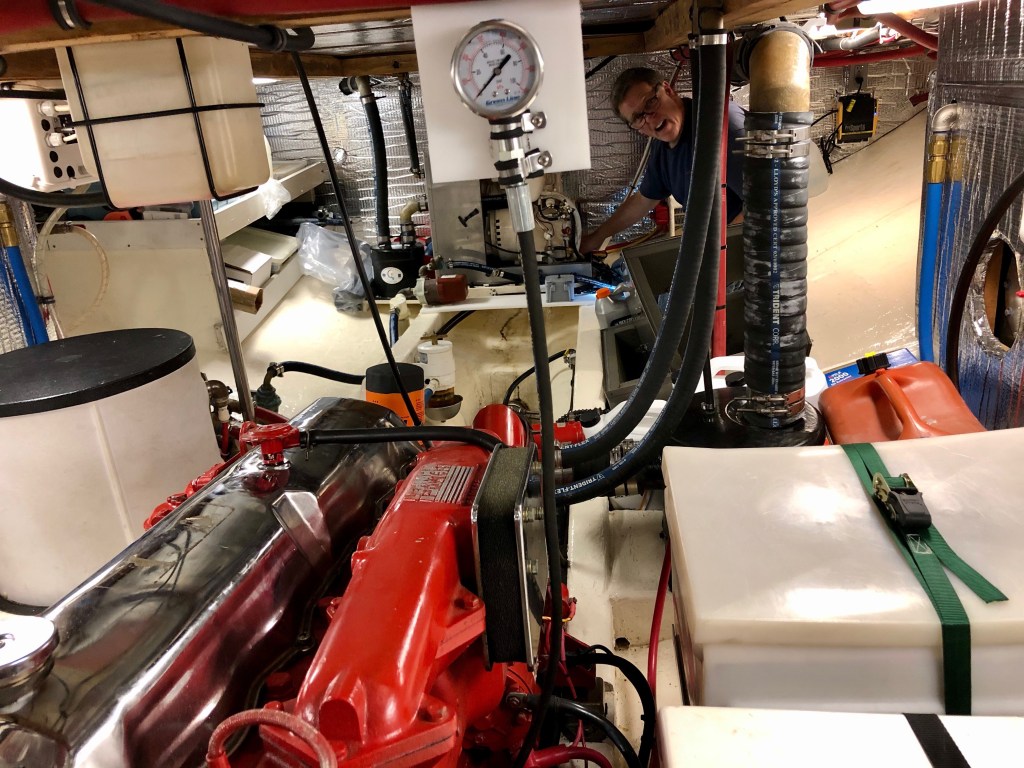
The testing on the generator was exciting! Jim topped up the coolant and I turned it on – some water pump belt shredded and it made a god awful noise! The verdict is that the generator has a couple of big problems – and Jim is not happy with the generator anyway so it will probably be getting repaired – sold and then replaced

With this knowledge we realized we could not go to the Central Coast without a generator. We decided that we could continue motoring about The Broughton’s without the generator or Webasto. We could easily charge the batteries, heat the hot water and the heat the boat as we motor along. So we would take a couple or three weeks to travel around and then make our way back to Vancouver.

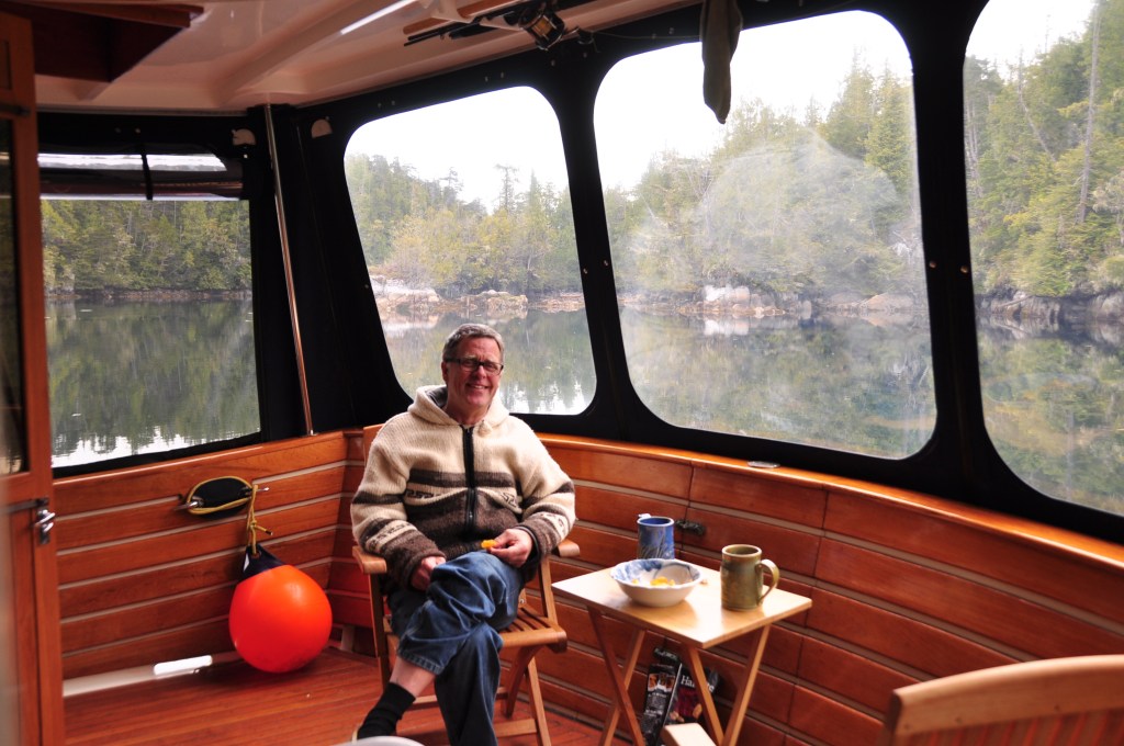
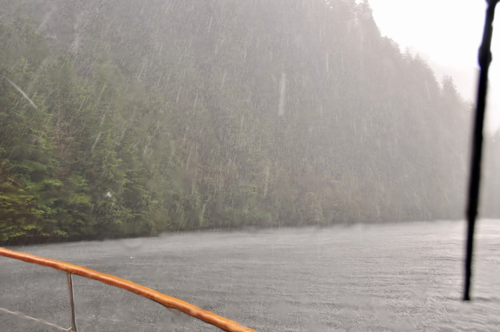
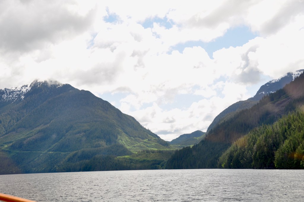
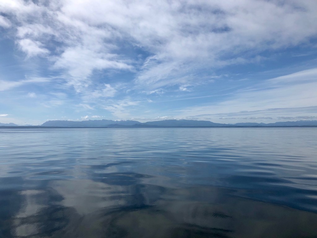
We headed out on a beautiful flat calm and sunny day.

Queen Charlotte Straight

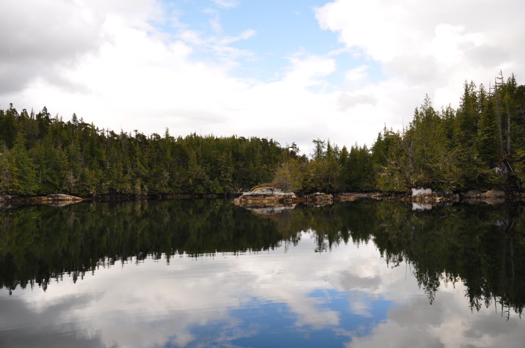
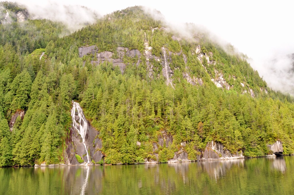
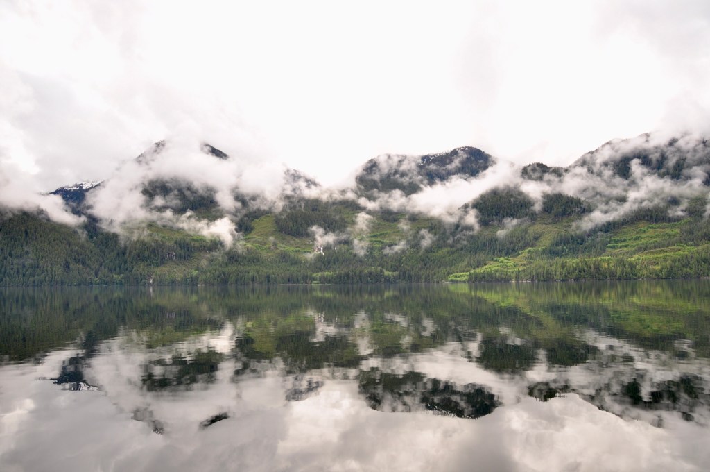
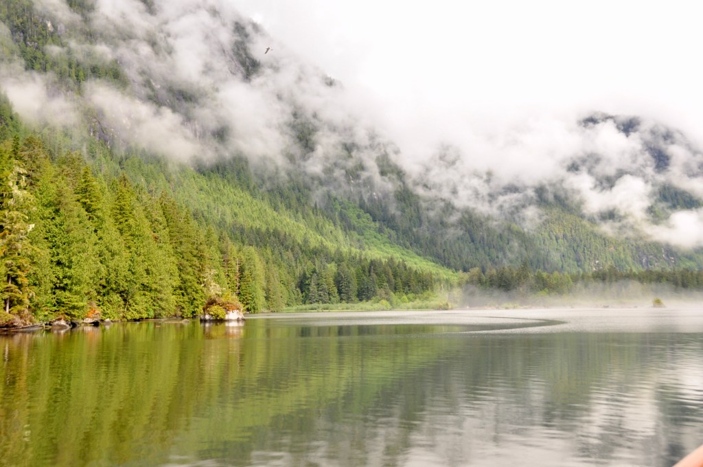
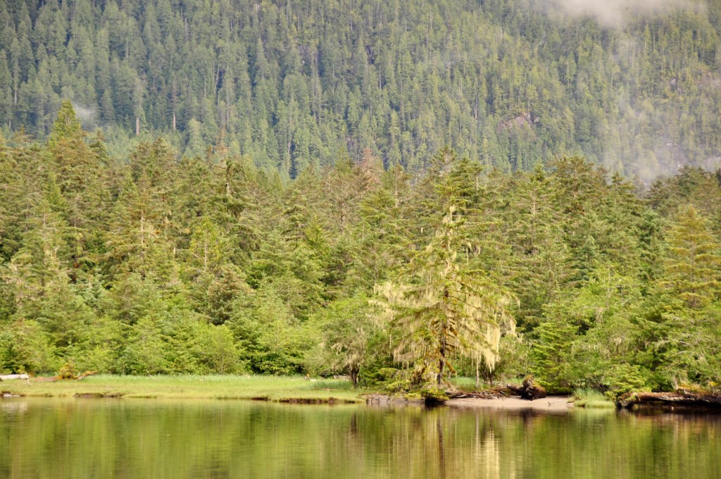
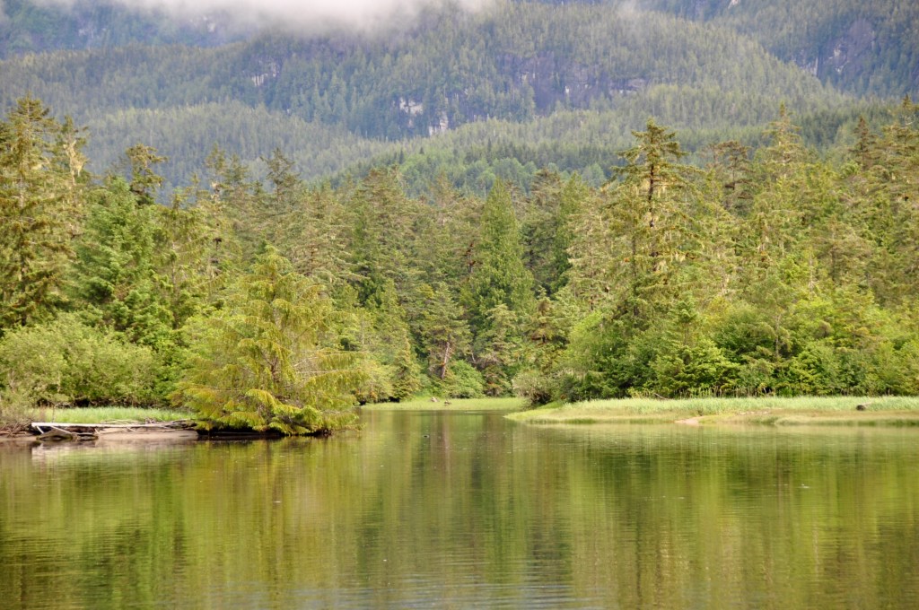
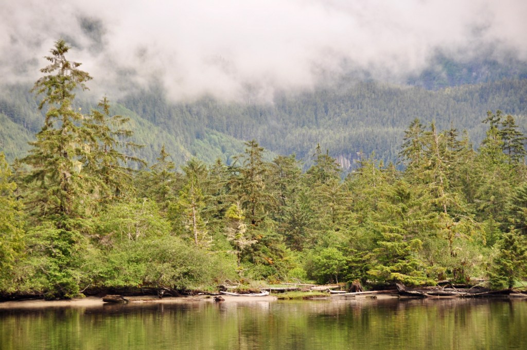
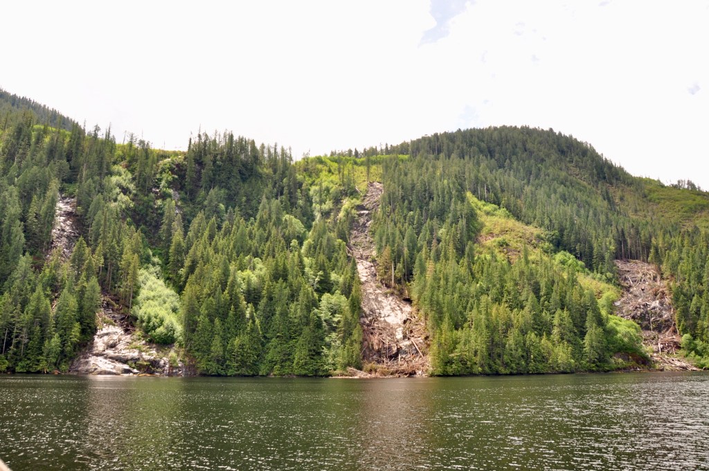
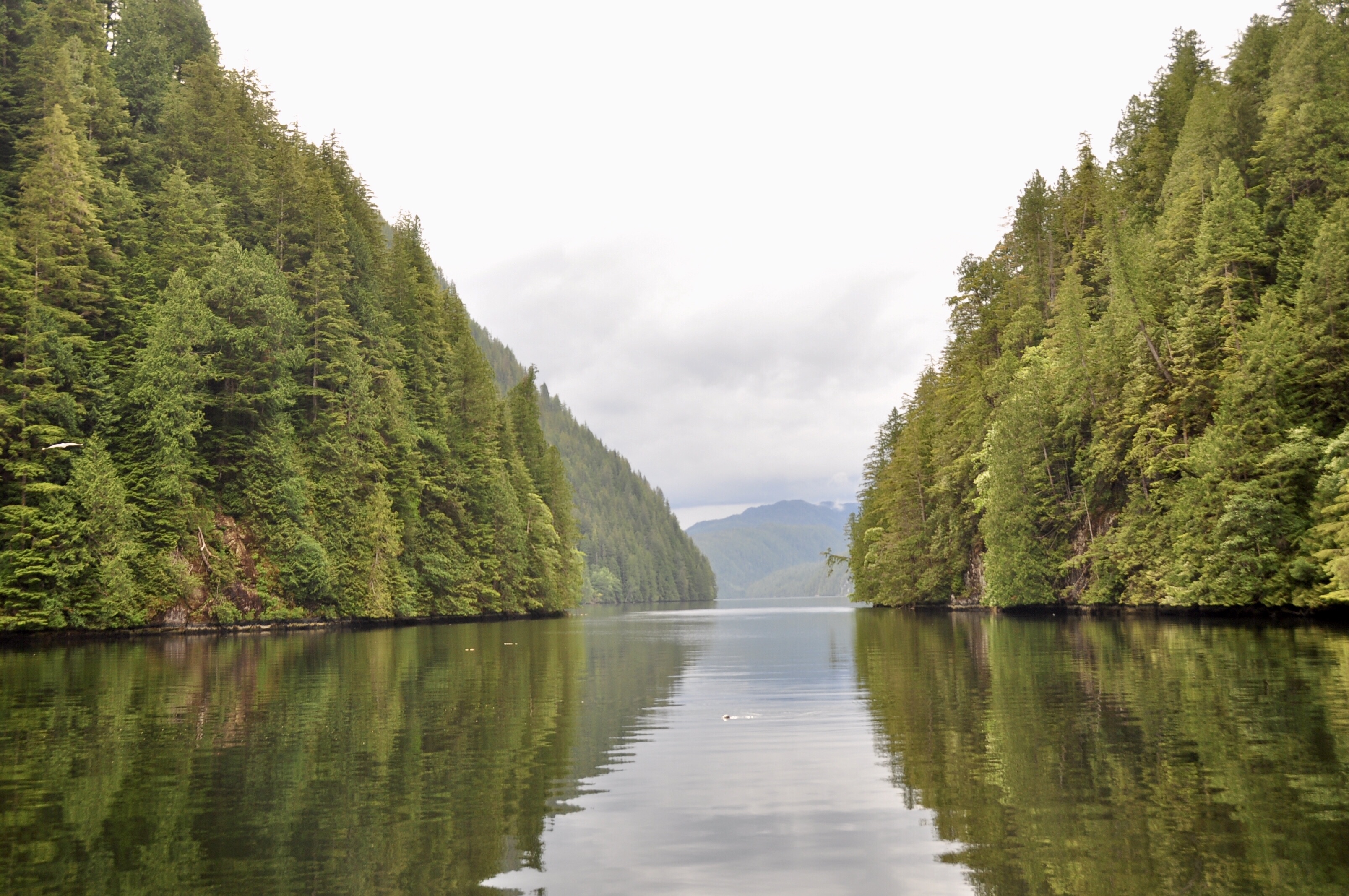
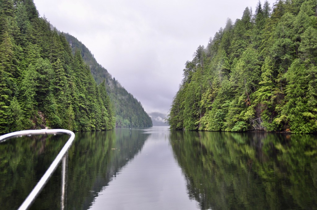
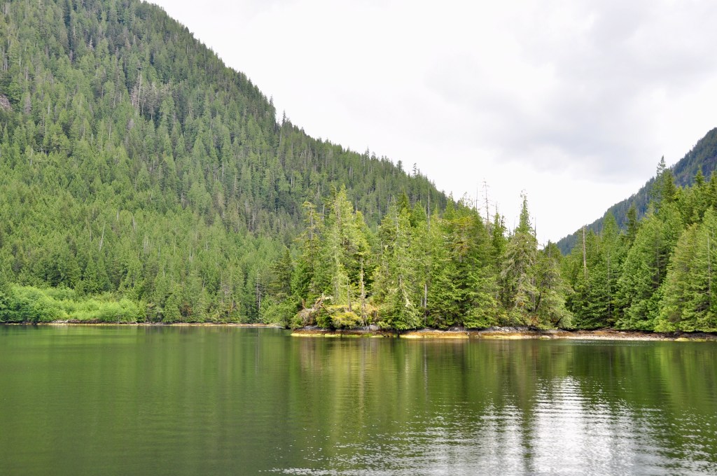
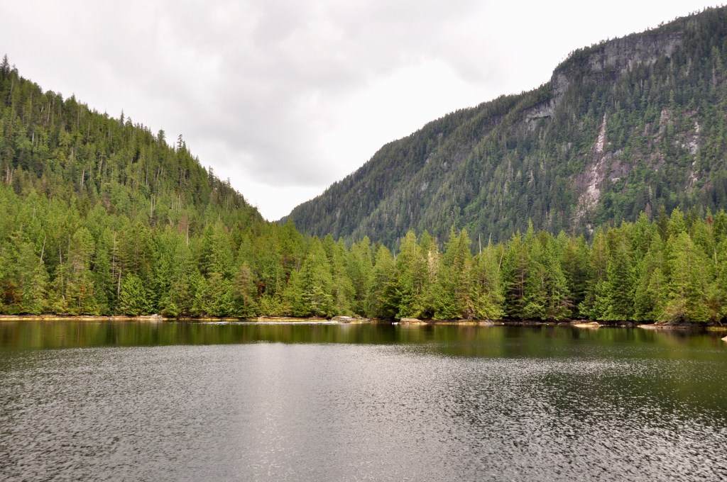
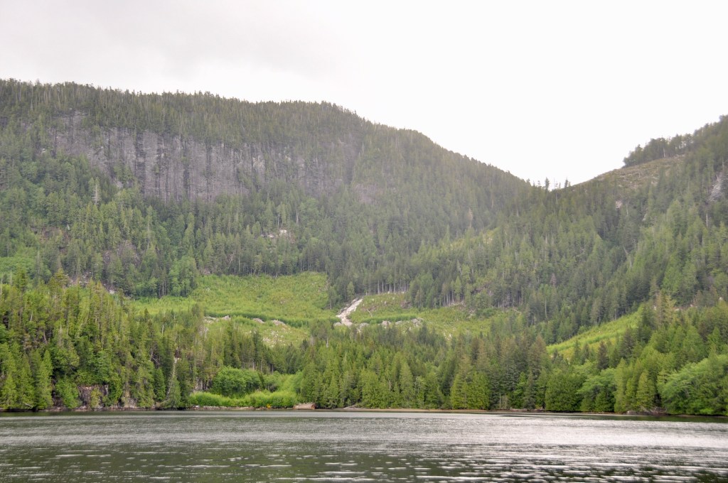
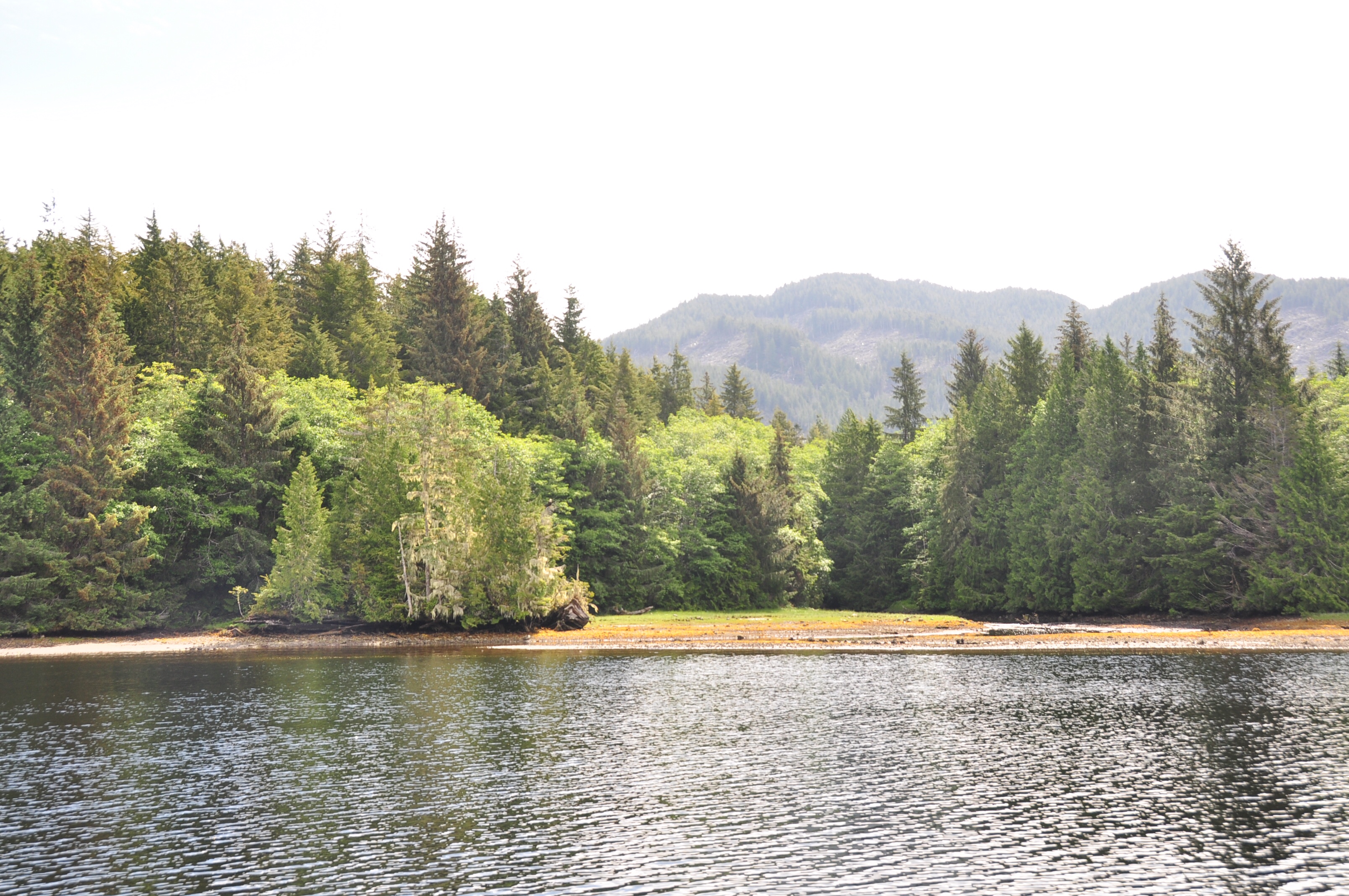
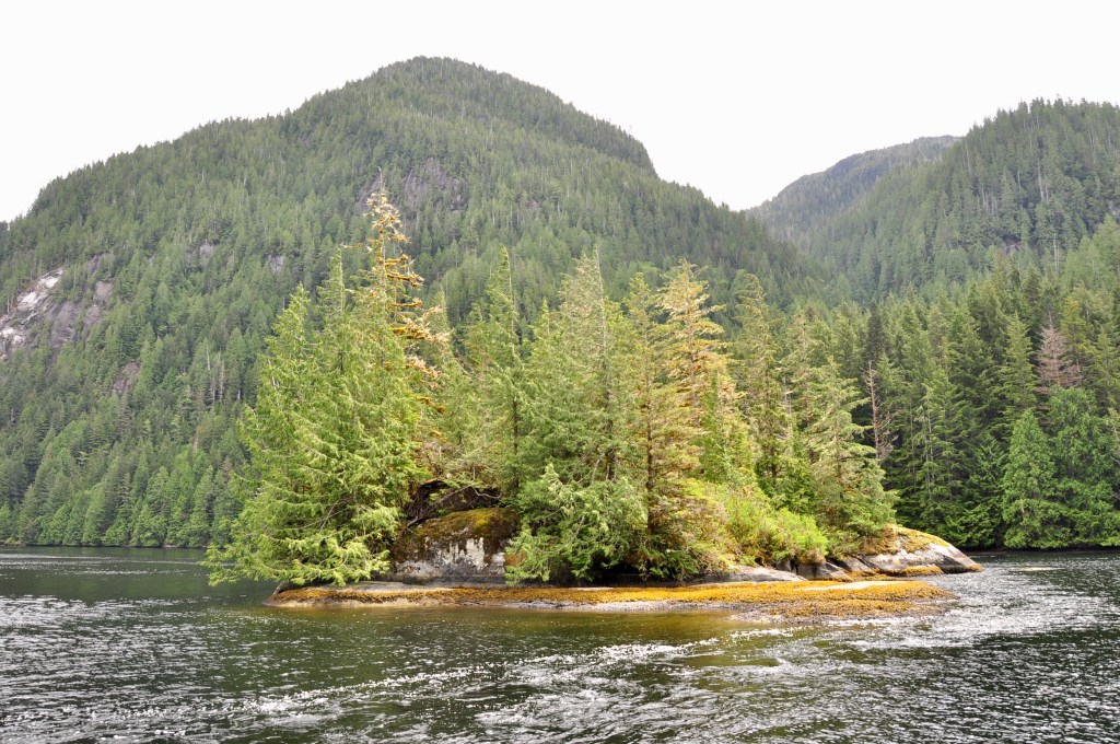
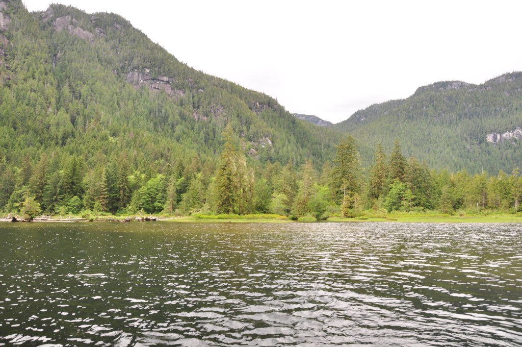
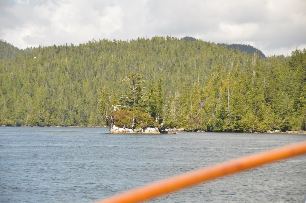
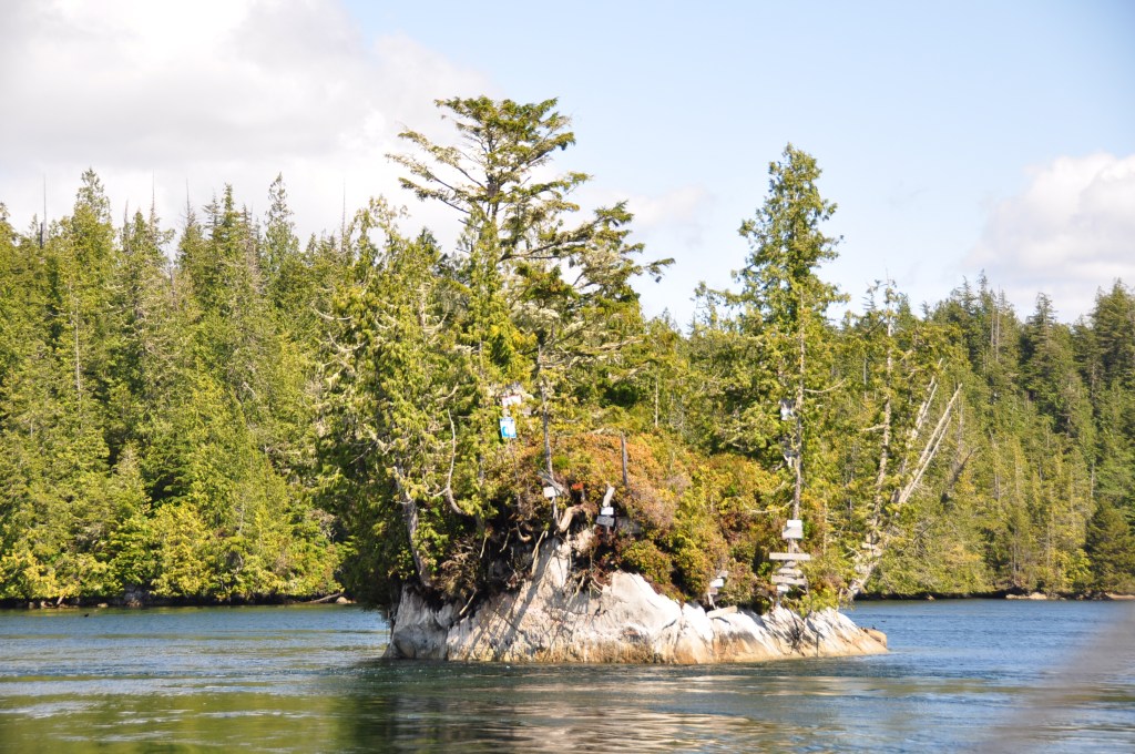
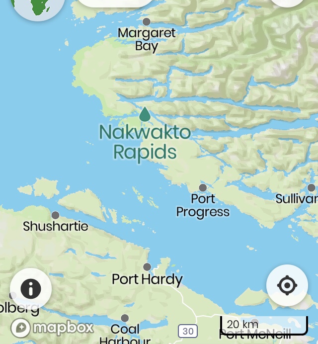
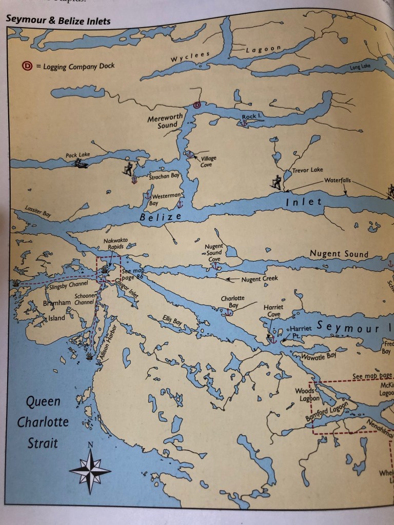
We decided to motor up Drury Inlet. We’ve never been up there and we had heard it was a beautiful inlet. The entry is narrow and there is a bit of a tidal rapid but we easily navigated through close to slack water. There is a marina in there – Jennis Bay Marina but we heard the docks were badly damaged in a storm a couple of years ago and we decided to go anchor at Davis Bay instead.

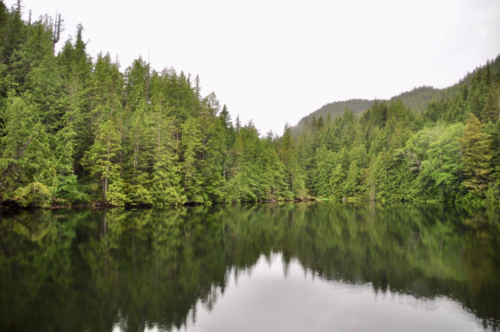
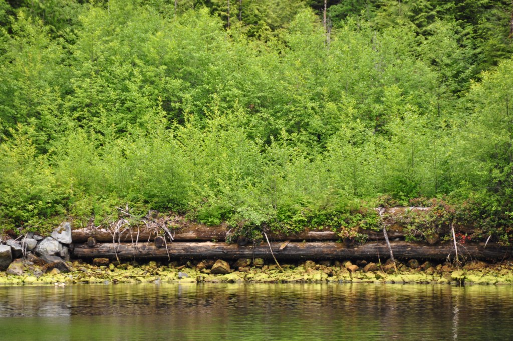
We motored into Davis Bay. Picked our spot and started to drop the anchor. I put out about 50 feet of chain and the windlass died. Dead – dead – dead. No power! Some clicking but nothing. Ok. Well. We get the hint! After a few choice words – and a bit of labour Jim managed to pull the anchor up by hand! Thank heavens this didn’t happen when we were up Alison Sound in 100 feet of water and 25 knot winds ! For that we are grateful.

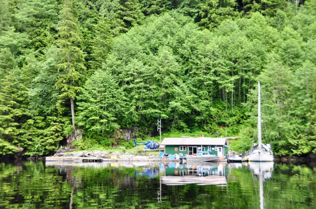
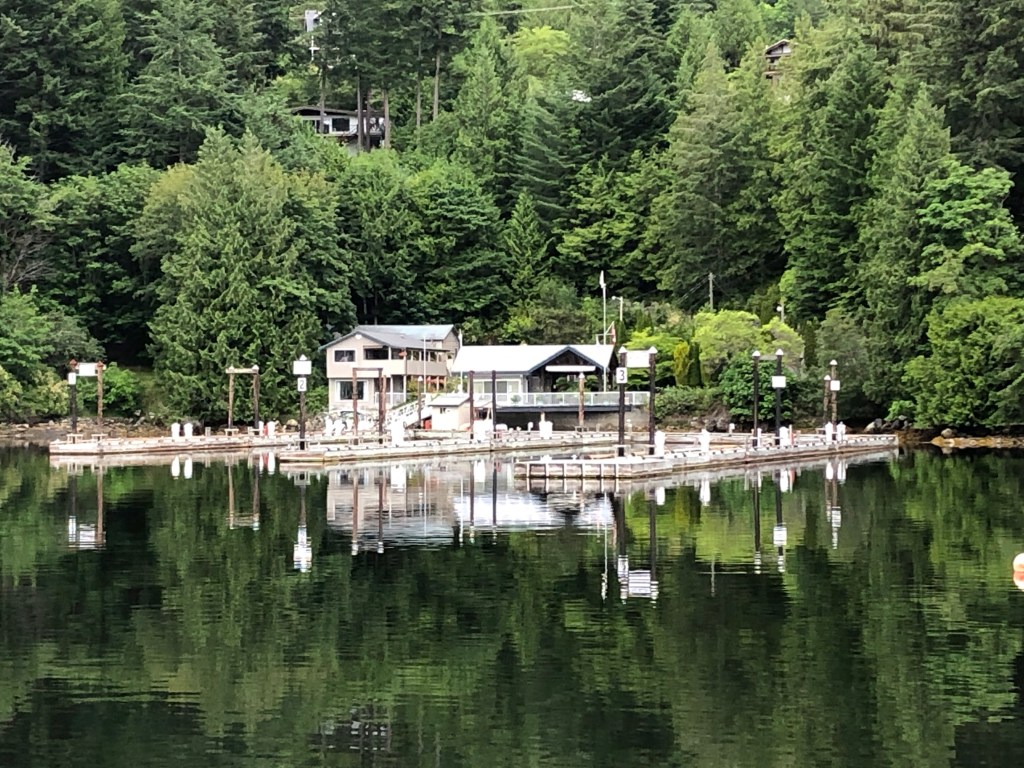
We gathered ourselves together and motored out of Drury Inlet and off the the docks at Sullivan Bay Marina. Plans will be made to travel back to Steveston going from dock to dock.

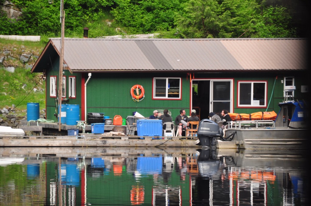
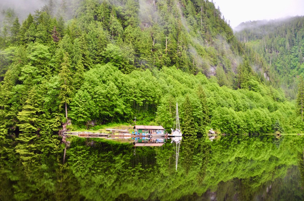
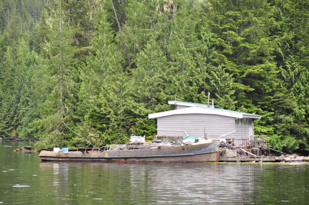
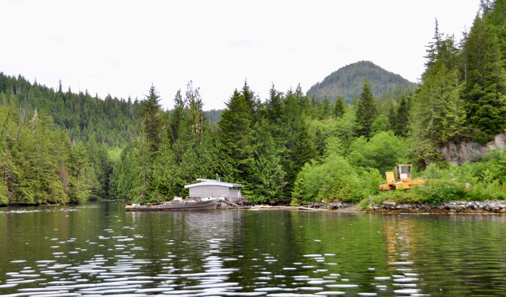
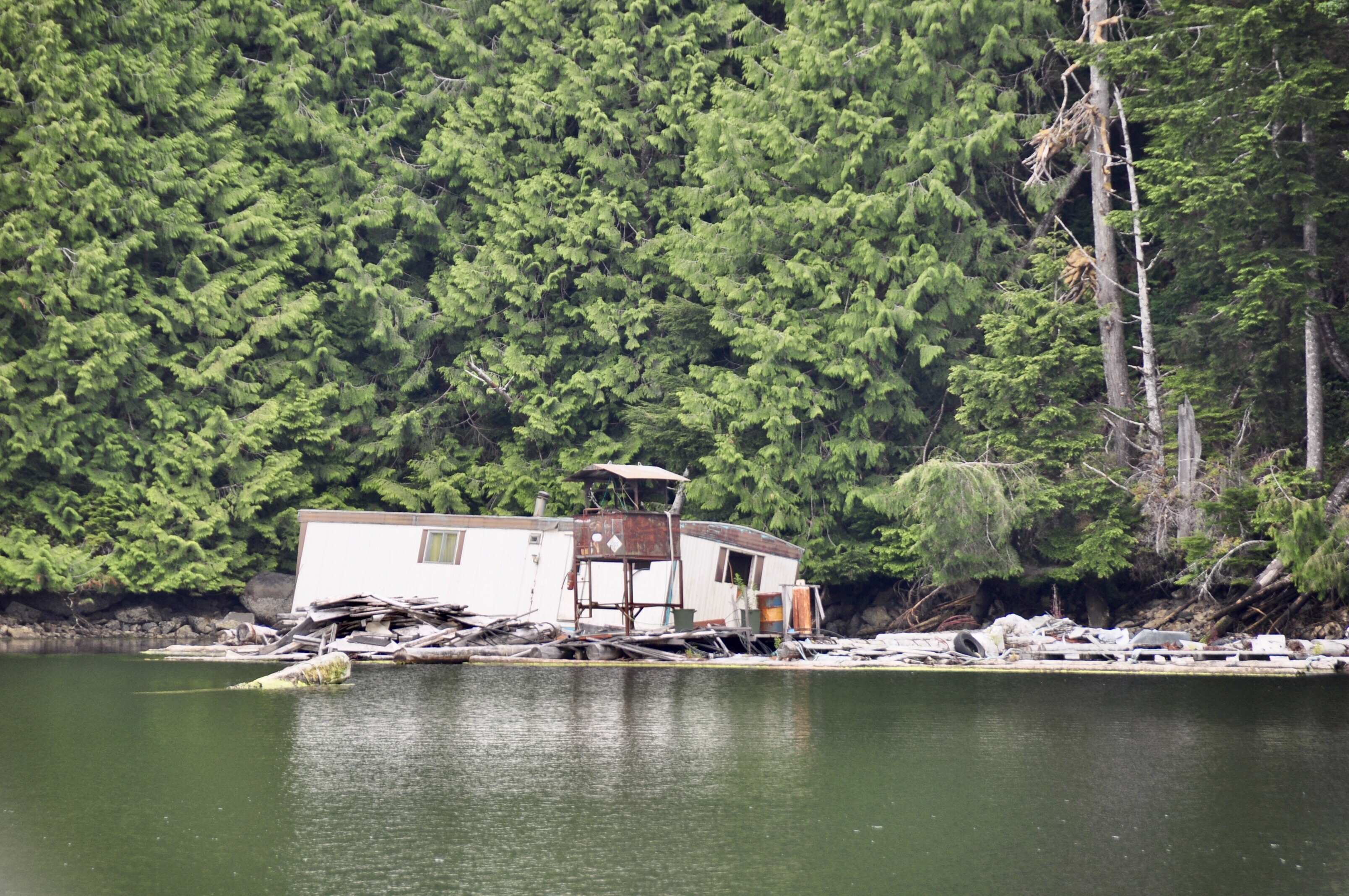
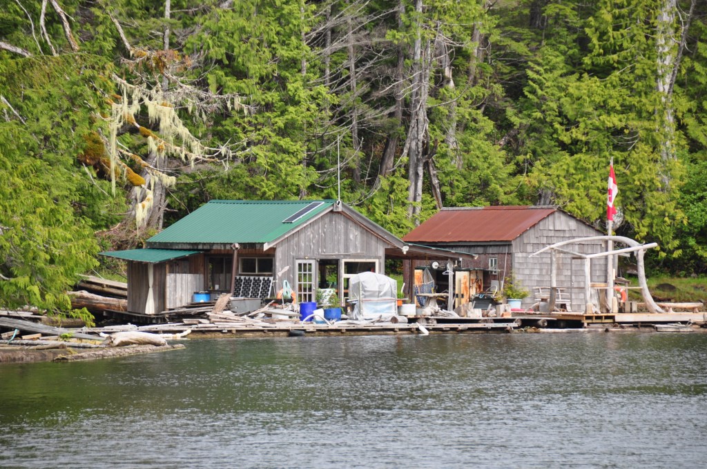
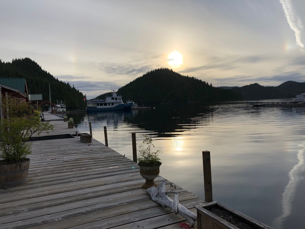
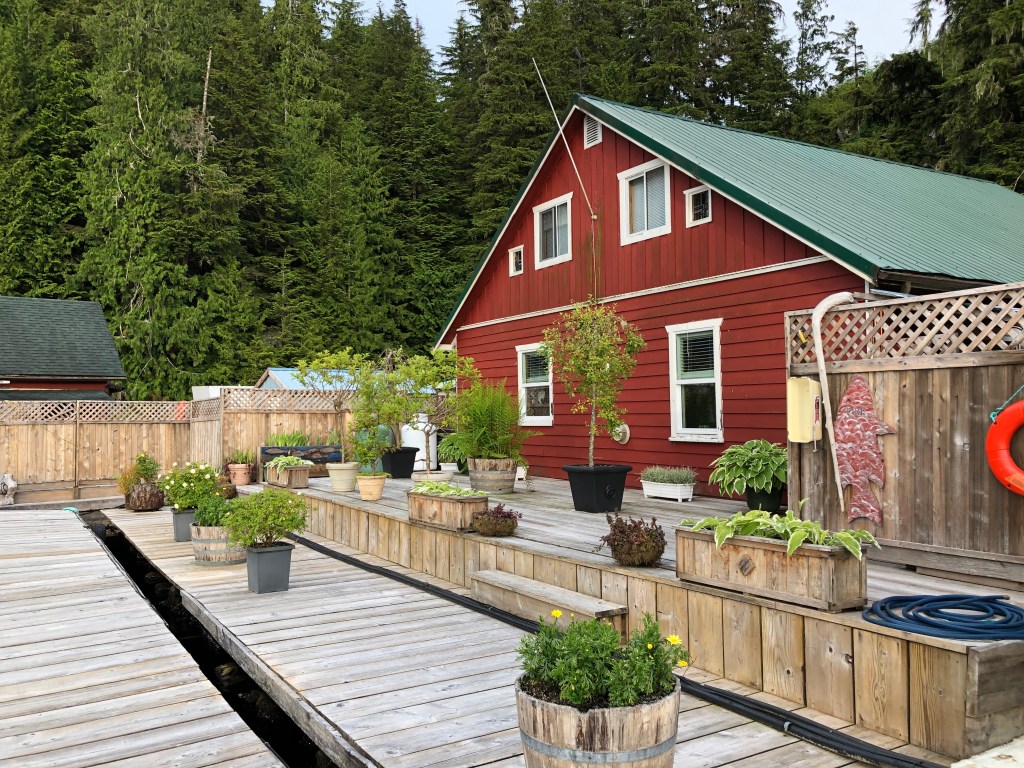
We’ve never been to Sullivan Bay Marina because it’s always so full and busy and we usually anchor up in the Broughton’s. There were only 4 boats there and the dock caretakers were lovely! It is a very pretty spot! We are glad we got to finally stay there. There are a number of float homes there – maybe 20-30. All but two are owned by Americans. And mostly of the boaters that go to Sullivan Bay are Americans. So it was pretty quiet there.

Docks at Sullivan Bay

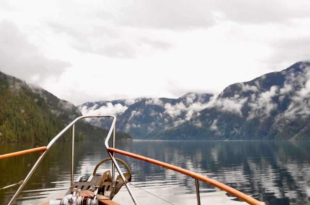
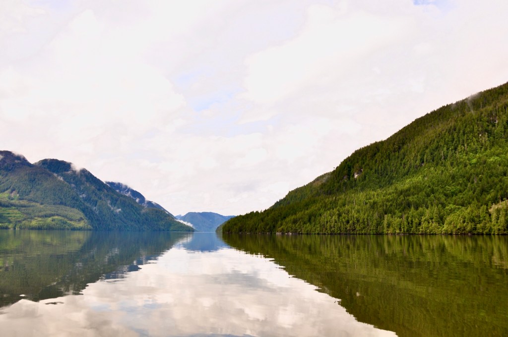
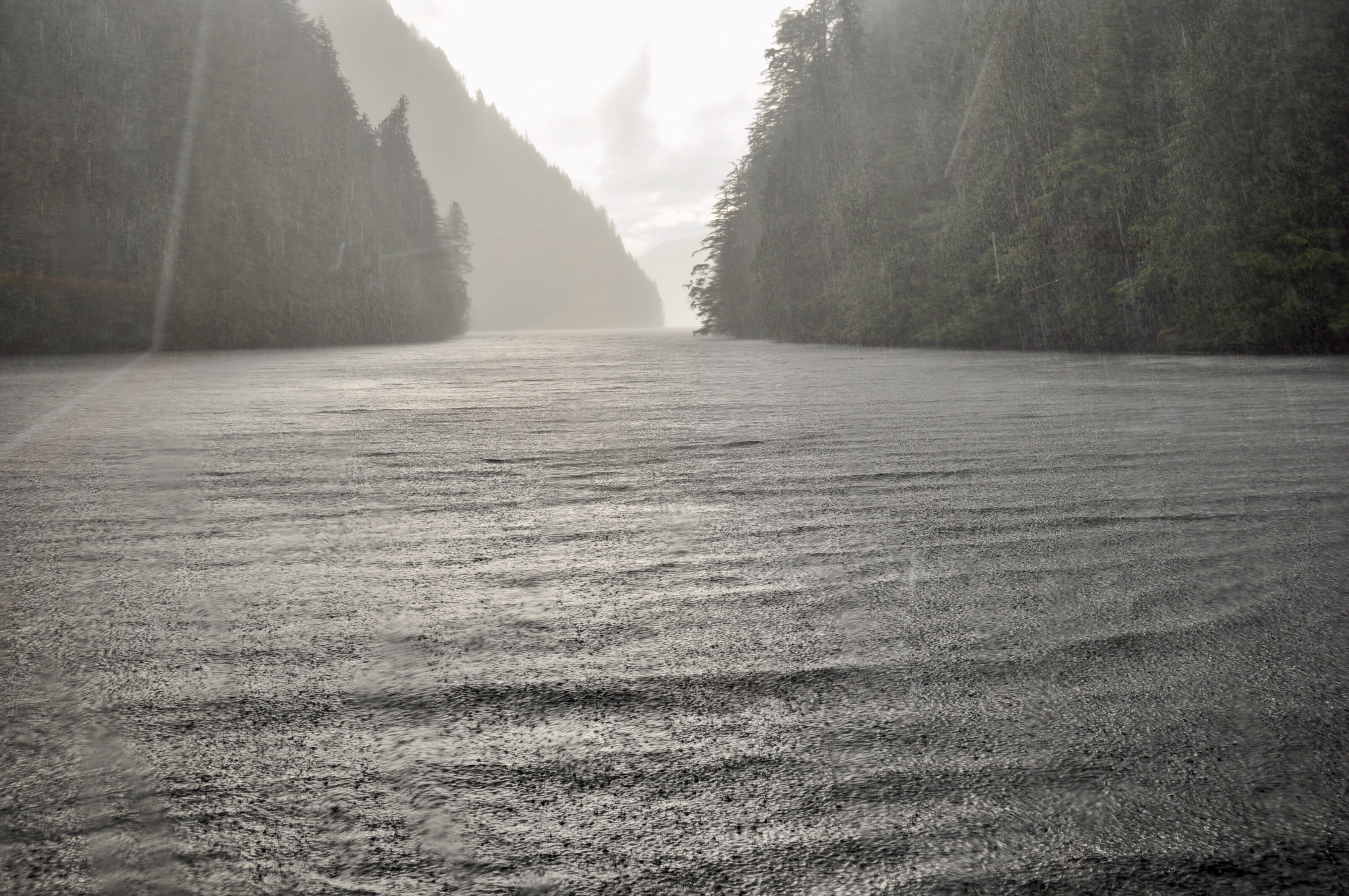
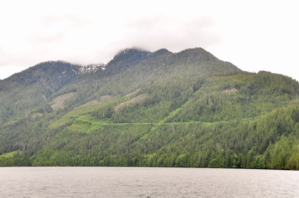
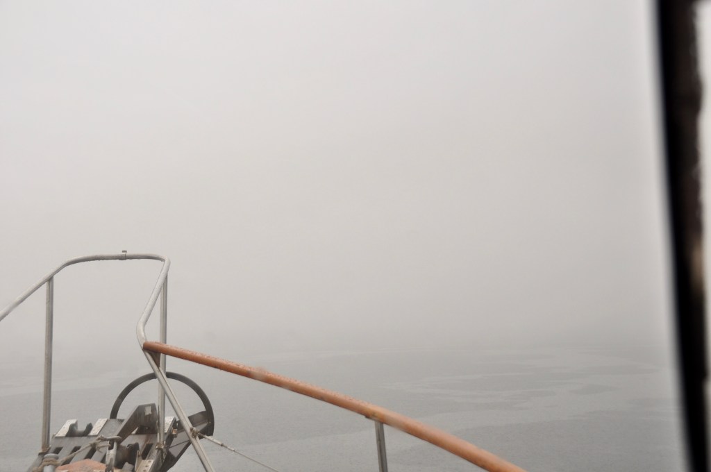
The next day we motored back to Minstrel Island and spend the night at the dock with a couple of Prawn boats. The following day was a very long day as we travel about 50 nautical miles to Shoal Bay. We went through Chatham Channel – out into Johnstone Strait – then Sunderland Channel. Fortunately the weather was pretty good for the most part. Johnstone Strait can be pretty miserable sometimes. Lilly has been known to barf along this route!

We were accompanied by some White sided dolphins for part of the trip. I got some great video.
Aqua Tromoy

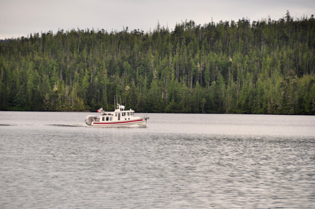
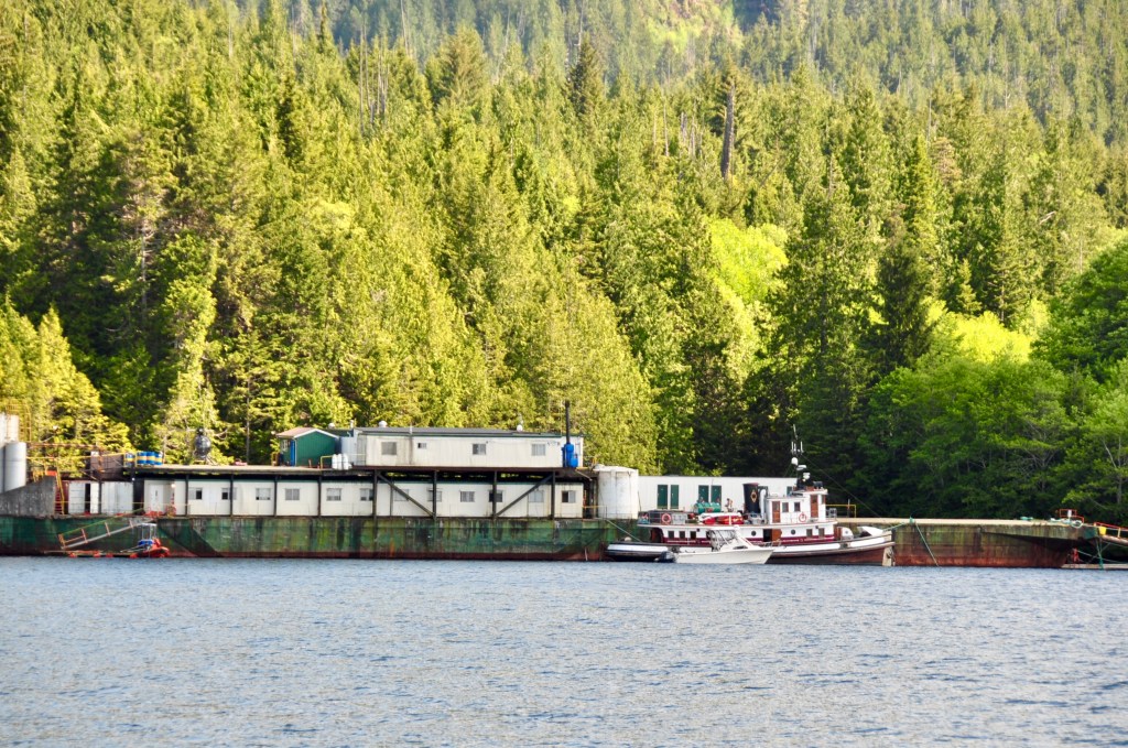
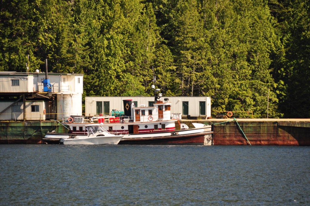
There are quite a few fish farms in the Broughton’s. We saw this boat in Port Hardy and again in Cordero Channel. It is a very expensive boat that is designed to clean the sea lice off of fish farm salmon. If nothing else this should give you pause about eating salmon from a fish farm!

Shoal Bay on a very rainy day

We had a couple of very small sailboats join us at the dock in Shoal Bay.

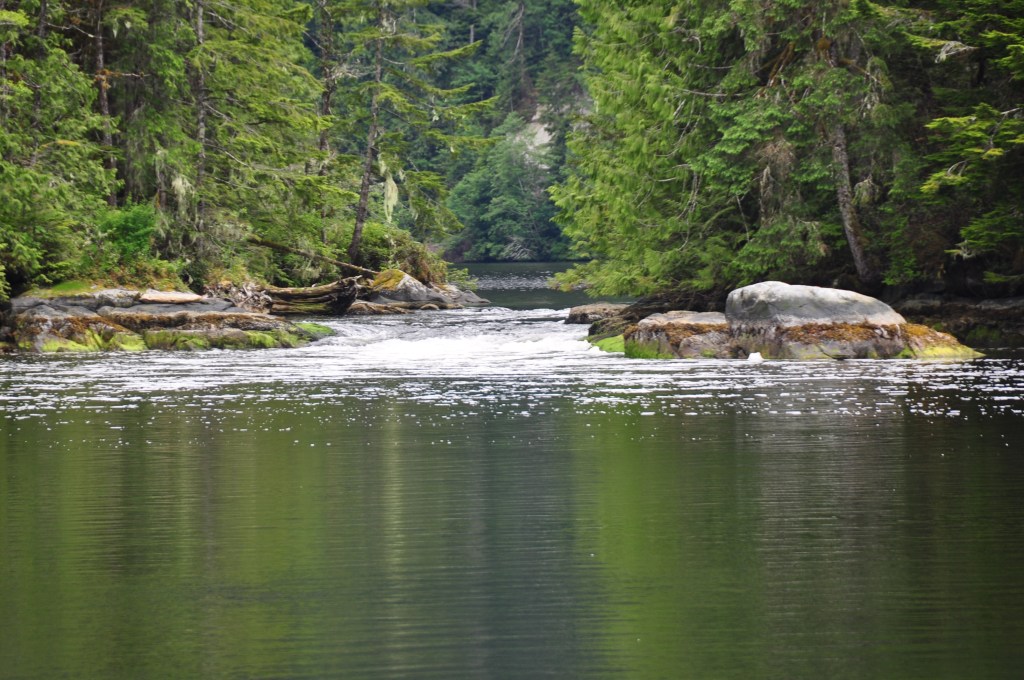
The next morning we travelled south through the Dent Rapids – We managed to time it so we were in the Dent Rapids at exactly slack water!

Can you tell it’s the Dent Rapids at slack? Yah – neither could we! That was an exciting trip! The Dent Rapids in heavy fog!

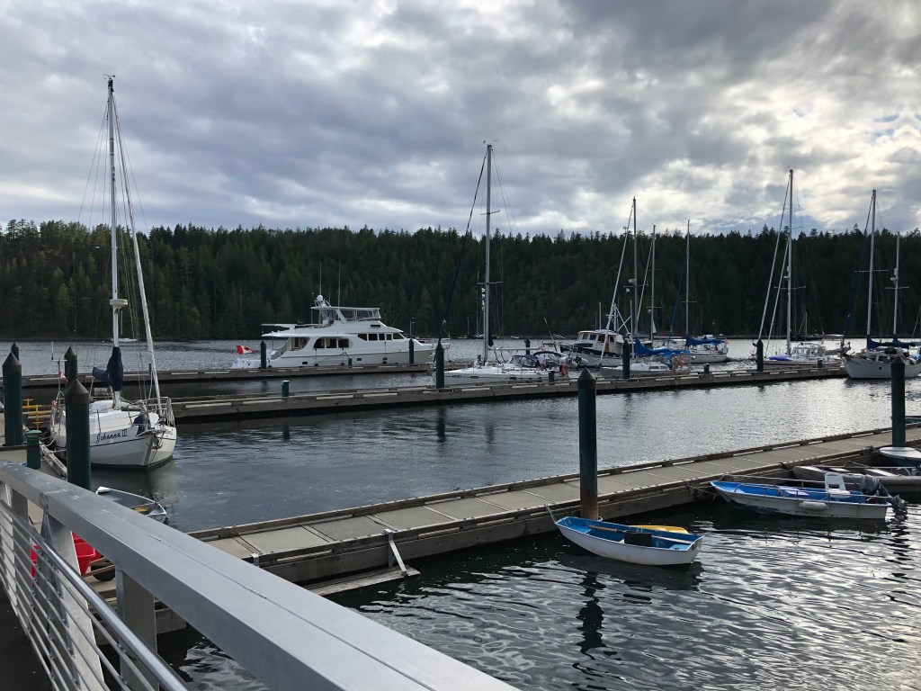
The next stop was the marina at Gorge Harbour. We’ve never been there before. Usually the marina is so booked up you have to reserve dock space months in advance. We’ve never even been in Gorge Harbour on Cortes Island. We usually anchor up in Squirrel Cove. The restaurant at the marina was open and we had a nice dinner out on the deck. We were the only people on the deck. A few people had come by to pick up some take out orders. I had a very tasty Chicken Burger served up in a paper container with disposable cutlery.

Empty docks at Gorge Harbour Marina.

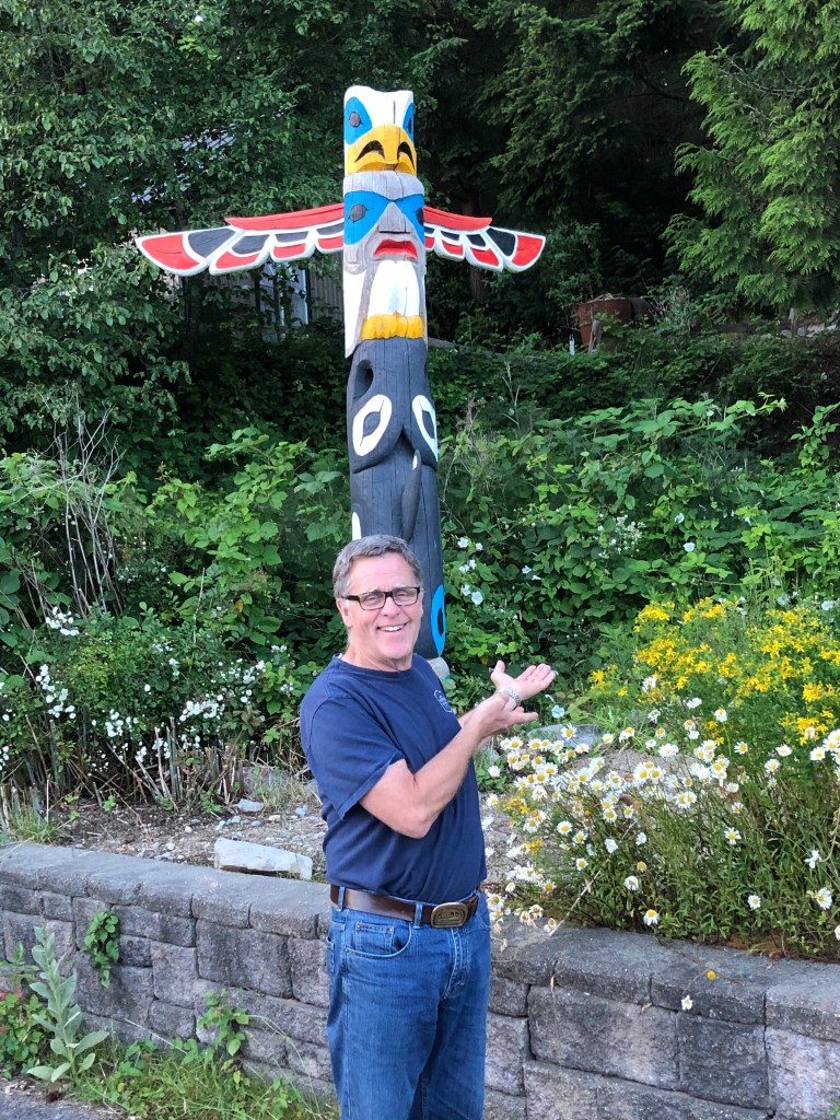
Next stop was Pender Harbour. We stayed at the Pender Harbour Harbour Authority Marina. We have stayed here before a number of years ago. The docks were closed to transient moorage when we were travelling north but they have now opened. We went for a little walk about Madeira Park.

Madeira Park
Empty docks of the Seattle Yacht Club in Garden Bay

The next morning we were expecting a fairly benign trip south in the Strait. The weather conditions indicated it would be winds 10-15 knots and sea about .7 metres. It is about 8 hours from Pender Harbour to Steveston. One of a fellow Krogen owner used to call the Strait of Georgia — That Bitch. Well it was definitely a bitchy day! Lilly barfed – twice! Fortunately not on anything important.

Not a happy cat !

After a very long day we got back to Steveston and found there was a big prawn boat tied up in our spot! That required some phone calls, a trip to the Richmond public dock, some more phone calls and finally we could tie up to our home dock.

A beautiful evening sky in Steveston.

Where are we now — home! The repairs have begun – first up the windlass. Parts are on the way from Portland Oregon.

Where’s the Cat?

Friday – June 12th. After a night in Frederick Sound our plan is to go back through Nakwakto Rapids. We are planning to navigate through the rapids during slack water at the end of the ebb tide, which was about 4:02 pm. We were about 36 nautical miles away from the rapids. This meant we would need to leave Frederick Sound at approximately 10:40.

We had our morning coffee. Watched a bit of helicopter activity. Tidied up the galley a bit. And then the usual statement – where’s the cat? We must say — Where’s the cat? 100 times a day. Where’s Lilly? She is in 100 different spots on the boat – she’s in the pilot house – under the couch – in the plastic container on the shelf – in the washing machine – in a cupboard – in the cockpit. If we can’t see her we go look for her. And locate her. She often is trying to get outside and in years past has been found on the top boat deck hiding in the prawn pots. Or under the skiff or somewhere she should not be. We keep pretty close watch on her – Because she’s a cat !

So – Where’s the cat? We look in all her usual spots – no Lilly. Usually if she thinks we are getting busy and she thinks we are going to start up the boat she hides under the couch. Nope. No Lilly. So we start looking in all the cupboards. There are a lot cupboards! We open every cupboard and look inside. Some of them locked and some unlocked. Securing each door after looking inside. No Lilly. We are calling her – shaking the catnip container – which usually brings her out. So did she get out of the boat? Jim went outside to empty the coffee pot into the water. Did she go out on to the boat deck. It was raining quite hard.

Jim went to the boat deck and looked under the flybridge cover, in the prawn pots, under the skiff which was strapped on the boat deck. No Lilly. We called and called. We have been looking for over a half an hour. We were getting desperate. I said she is not on the boat! I thought she had gotten out and then jumped up on the railing trying to get to the top of the boat deck – which she does – and slipped off the wet railing in the rain. She fell off and has drowned in the cold water. Jim figures she would swim to shore. She’s determined – she’d swim to shore. We were both very upset by this point. Jim figures he could find her in the skiff. She’d swim. Maybe she’d swim over to the logging camp. I had my doubts. We were both quite upset by this point.

So – in the pouring rain we get the skiff down off the boat deck and into the water. Jim is so upset and blaming himself for letting her out. I’m expecting he won’t find her. But he’s going to drive the skiff around the shoreline and look for her. And go talk to the loggers, maybe she will make her way to the logging camp. Off he goes in the skiff with the hand held VHF radio. We’ve now been looking for almost an hour – it’s 9:30 AM.

So while he’s looking I decide to go back through boat again starting in the salon. Back to the galley – I open the locked cupboard under the sink and there she is ! Right at the very front of the cupboard! Big as life! In the locked cupboard! Right away I pick her up – put her in the state room and shut the door and call Jim on the radio! I found the cat. Ok he says – goes over and has a little chat with the loggers at the camp. Back to the boat – put the skiff back up. Both of us stressed right out – too stressed to even talk about it! Jim decides he needs to text Dianne.

By the time I opened the cupboard the second time she was right out in front next to the doors. Probably had a enough of being stuck in the cupboard. Not a single meow! Nothing. Sitting quietly. Boy that was stressful! but we were still on schedule to leave by 10:40 AM! And we didn’t lose the cat – thank goodness!

Neither one of us had been in that cupboard. And I looked in that cupboard. I discovered how she did it a few days later – again looking for the cat – because she did it again. She had managed to open the cupboard on her own because the top latches just twist to close and are easily turned. And she’s a determined cat.

Can you see the cat?

We left on time. It was an uneventful transit through Nakwakto Rapids and a short trip down Schooner Channel. We anchored up in Murray Labyrinth for the night. A beautiful spot. Well deserved! It was a two beer night by the time we dropped the anchor!

Time for a beer !


A rainbow reflected in the water after the rain
Beautiful sky at Murray Labyrinth
Murray Labyrinth
Yes, she really does go in the washing machine. We looked there too!

Seymour Inlet Part 2

The head of Seymour Inlet is large and open and stunning in it beauty. We were anchored up only about 7 nautical miles away so it was a short trip in the morning. We have heard there are often grizzly bears but we did not see any there.

Calm seas again after the storm the night before.
Many waterfalls coming down from the high rock cliffs along the way.
Mountains in the clouds this morning all reflecting in the water
The head of the Inlet from a distance.

The Seymour River enters the head of the Inlet and there is a large green delta at the head.

They Seymour River in the mist.
It’s so green and still today. Like the shore of a lake
The remains of a logging dock.

There is not logging there at this time. And very little evidence of logging. Some roads that are now overgrown with Alder.

Heading out. Back down the Inlet

We decided to go in to Salmon Arm and Frederick Sound for a look about. We had to go through Eclipse Narrows to enter. The Narrows were running about 3 knots – which was maximum ebb but they are short and pretty much uneventful. We had heard there was a nice spot to anchor in Frederick Arm but there was a logging camp in there. We thought we’d look and see how intrusive we felt the logging camp was.

Some small slides along the way into Frederick Sound
The logging camp

The logging camp was pretty small and not intrusive at all. And after the night before it was nice to have company. There was a large dock and a helicopter. We discovered around 4 pm the helicopter was there to take the loggers back and forth to the work site. We enjoyed watching the coming and going’s. The helicopter made three trips in the afternoon picking up the loggers. It was small and had seats for 3 plus the pilot. There were 8 loggers, one pilot and one cook at the camp. In the morning the helicopter made two trips out and then a float plane came in and picked up two people.

A bear on shore checking out the sites. Probably looking for food.
Everyone back to camp and enjoying dinner on the dock. Notice the orange stretcher on the dock. I figured we could be rescued if needed!
Beautiful early morning views.

Seymour Inlet

Seymour Inlet is very long. It’s about 42 nautical miles. We planned to go about 3/4 of the way up and anchor in Maunsell Bay and then the following day take a motor up to the head of the Inlet and anchor up somewhere else – maybe check out Frederick Sound or go back to Maunsell Bay.

We started out with a flat calm morning after the wind the day before.

Seymour Inlet

We went in to Warner Bay to look around. There was a small float home in there next to the entrance to a lagoon and then further up after the lagoon is Hibbard Lake.

Warner Bay Float home
The site was a little untidy with the old tugboat hull but the float home looked fairly new
The first pleasure boat we’ve seen since we came through Nakwakto. There were two boats traveling together.

We arrived at Maunsell Bay – the anchorage is in a snug little cove at the very top of the bay. It’s a deep anchorage and not a lot of swing room but we found the perfect spot in about 55 feet of water. The anchorage is almost complete enclosed by high hills on all side except for the tiny opening. Surrounded by trees and high rock cliffs. The branches of the trees go right down to the water level. Very little tide changes or waves make there way in here.

Opening of anchorage looking toward Maunsell Bay
The tree branches reaching right to the waters edge.

Just after we set the anchor down and set up our Happy hour there was a flash of lightning and a huge crash of thunder. And then rain! And then more thunder and lightning. And it was getting dark in there. And a little creepy – knowing we were all alone. And what if we got hit by lightning. And we were all alone. Lilly was not happy either !

And then it would clear up and be calm and such a beautiful spot for a little while

Calm between the storms!
Rain – at times heavy!

And then lightning and thunder and rain again. It did this about 4 or 5 times throughout the evening. It really was a beautiful anchorage but I was happy to leave in the morning feeling a little isolated in there. I took a lot of photos in there. It was really a lovely little spot and all the water was cascading down the rock cliffs from the heaving rain. It is hard to capture in photos.

Ephemeral Waterfalls

I took a couple videos of the rain. Might see if I can upload one when I have some better service. Dock wifi is — dock wifi! Better than nothing but not by much!

The next morning we went up to the head of Seymour Inlet. Beautiful!! I took a lot of photos there as well. That will be the next post.

Nugent Sound

We decided to leave the Belize Inlet area and head up Nugent Sound for a night. First up to pick up the prawn pots. Much to Jim’s dismay we did not get a single prawn. Not One!

Humpback shrimp
Pretty big shrimp! You can see the hump back

Jim was pretty unhappy but we still had a couple of avocados and some cherry tomatoes so I was looking forward to shrimp salad for dinner!

While we were at anchor in Strachan Bay we discovered that both the Webasto – our little furnace that provide heat and hot water and our generator- which provides heat, hot water and charges the batteries are not working. Both seemed to have gone on the fritz within a few hours of each other. This will mean some plans will have to change. But at this point we are going to continue with our trip up Seymour Inlet.

As we motor along up Nugent Sound it is a pretty nice day with no wind or rain and the scenery is beautiful.

A rock cliff with the names of tugboats that have been painted there by the tugboat captains over many years

According to “Cruising the Secret Coast” by Jennifer and James Hamilton there is a small logging dock at the head of Nugent Sound and the entrance to Schwartzenberg Lagoon. They anchored up at the head close to the lagoon entry. We were not going to anchor up there. We found a little anchorage we quite liked on our way up and we’re going to go back to Nugent Cove for the night.

Head of Nugent Sound

As we motored in we found what is left of the logging dock.

Remains of logging dock
Entry to Schwartzenberg Lagoon

I thought that was a good photo of the water coming out of Schwartzenberg Lagoon. The lagoon can be seen in the back with the water rushing out through the small opening. It is very shallow and access to the lagoon is by skiff only at high water slack. It is quite a large lagoon. I wonder what is the ration of fresh water to sea water in theses inlets.

We monitored back to Nugent Cove to spend the night. It was a lovely little spot tucked behind a couple of islands.

Nugent Cove

Jim boiled and peeled the humpback shrimp. Which he thought was a lot of work for one meal. I offered to help but I was a little late on the draw.

Just over 100 humpback shrimp. Cooked with shells still on.

There was just over 100 shrimp. They weighed out to just under 500 gram. We know because we have a small scale on the boat. I thought it might be too much for one meal. But nope – we ate them all!

Shrimp with avocado and tomato salad

Jim took a few artistic photos of the shrimp salad and decided it was really tasty and worth all that work. Except he’d still rather they were prawns.

The next day the wind came up and we decided to stay put instead of going into Seymour Inlet which is very large and open and probably much windier. We saw gusts as high as 28 knots where we were anchored.

We had a quiet day and I finally got out my Dear Jane quilt project and did a little stitching.

Everything I need for my Dear Jane quilt thanks to my dear quilting friends.

Mereworth Sound

We decide to just do a little day trip up to the head of Mereworth Sound. We dropped a couple of prawn pots in as we were leaving Strachan Bay. Jim was told by one of his fisherman that he caught a lot of very big prawns up here in that spot. So Jim was excited to give it a go.

Mereworth Sound is where we saw the most active and recent logging activities. There was another logging camp and some old abandoned buildings and docks.

This derelict site was just up a bit from Strachan Bay. It should be cleaned up
We saw quite a few people on the dock at this camp
An old tugboat tied to the dock. Maybe used as extra sleeping space.
Beautiful day. Not too windy.
Looking towards the head of Mereworth Sound. A logging site that has new a growth of trees
The deciduous Alder trees grow first in the areas where the logging roads were built
Fairly recent logging in Mereworth Sound.
We saw a number of these old ramps and docks and boom sticks all around the area.

As we turned around and headed back down the sound the wind came up and was blowing pretty hard. We decided to leave the prawn pots out to soak overnight with the plan to pick them up as we headed out the next morning.

When we went back in to Strachan Bay there was a small skiff with 3 people pulling some prawn pots. In the wind! Very low in the water! I didn’t take any pictures of them. I was too busy worried they might fill with water in the wind and the waves and sink! I even made Jim turn around at one point and check on them as I had lost sight of them. Jim said they were in a Boston Whaler and those boats never sink. Three people and 4 prawn pots – it looked like they had barely enough room. When they were finished pulling up the pots they headed back to the little cabin at the entrance to Pack Island.

Lilly had another hard day! She’s sleeping on my quilting bag I won from @poppyprints Instagram! She won’t be doing that for long!

We went back to our nice little teardrop cove for the night.

Thanks for all the great comments. I’m still not sure how to reply by email. I’m working on getting a few posts done while I have dock wifi and cell service.

Alison Sound – June 5th

After the events of the day before we decided to take a leisurely motor up Belize Inlet and then up to the head of Alison Sound. Depending on the conditions we could anchor up at the head of Allison Sound. There were some pictographs on the rocks up Alison Sound we wanted to try to find.

We left the little cove we were in and first thing we came across was a float plane heading right in front of us. Dropping off a couple of men at a small dock in Strachan Bay. There is evidence of a fair amount of logging around but not a log of activity at this time. Maybe due to Covid?

The plane dropped some people off and then left.

There is a small homestead / camp in Strachan Bay right by the entrance to Pack Lake. It has apparently been there for many years and occupied by a logging family for a 3 or so generations.

Strachan Bay at entrance to Pack Lake

We looked in to Village Cove as we left. it is just up Mereworth Sound around the corner not to far. It looked like it would be a pretty little spot to anchor up.

Village Cove is listed as First Nation site on the chart

There is another logging camp around the corner on our way to Belize Inlet. The camps we saw seemed to be fairly compact and contained to a small area of the shore.

There was a fairly large dock that we probably could have tied up to for a night. we did not see any people on shore or boats at the dock. But just around the corner to spotted our first pleasure craft — sort of !

There is someone on a Paddle Board! He must be from the logging camp. A caretaker maybe?

Belize Inlet is beautiful with a number of waterfalls along the way. About halfway up Belize Inlet is the entry to Alison Sound

There were many beautiful waterfalls along the way.
Looking at the rock wall where we should find the pictographs right at the entry to Alison Sound
The pictographs is of a larger 3 masted sailing ship, 3 smaller boats with oars and on Orca off to the right. One smaller boat is harder to see on the left.
Heading up Alison Sound. Beautiful black cliffs all around us.
The second pictograph further along Alison Sound
Lilly is tired after her long day yesterday and has found a new place to lay her head.
The head of Alison Sound

We decided we would drop the anchor and stay the night. We dropped the anchor in about 60 feet but the bottom here shoals steeply. The wind was coming up the sound so we pulled towards shore and we were quite comfortably anchored in about 30-40 feet. After about 2 hours the wind came up and was gusting 15-20 knots over the mountains and into the sounds and we were pushed back to almost 100 feet. With the strong gusts and the depth we were in we decided to pull up anchor and headed out to find a better anchorage for the night.

The problem with these deep inlets is the anchorages are often very deep with limited swing room and they shoal steeply. And often the best way to anchor in this kind of anchorage is a shore tie. We don’t do shore ties — long story! Let’s just say the one time we tried we left Smuggler Cove with our shore tie between our tails while fellow boats looked on chuckling away!

We went into one little cove to anchor and it was shallow but full of rocks and logs and trees that had fallen down. In the end we motored back to our little cove at the end of Strachan Bay. Dropped the anchor in a nice happy spot. Lilly woke up just in time to climb around the boat all night. The laundry drying on the line in the cockpit all day. Time for a beer!

It’s not always pretty

We have returned to the land of cell service and civilization!

We left Port Hardy the morning of June 4th. All plans were set to get to Nakwakto Rapids at high water slack – going in with the end of a flood tide. Winds in Queen Charlotte Straight were 5-15 knots. It was about 4 hours to the rapids.

Things started off well. Left the dock and motored out and towards The Walker group of Islands. As we started going though Shelter Passage and the western portion of Queen Charlotte Straight the seas started to get a little sloppy – confused seas. Lilly started to look a little piqued and licking her mouth indicating she’s thinking she is going to barf. The seas are getting more and more sloppy and confused and she runs down to the carpet in front of the state rooms to barf. I go clean it up. Usually she’s better after that.

Lilly came back to sit on top the pilothouse bench seat and the rollers started to come in. Big long high waves that just roll and roll and about 10 seconds apart with an occasional large rouge wave. It’s that ocean swell. Lilly is sitting behind me. I turn and look and she has barfed down the front of seat and on the back of my jacket. Off comes the jacket. Clean that up. These rollers are getting bigger and stuff is now starting to crash around and fall off of the shelves in the saloon. I’m now starting to feel a little queasy. I do not like the big ocean rolling swell.

We decide to check the wave height at West Sea Otter – the nearby weather bouy —2.4 metes !

I put Lilly on the bench seat next to me as we are really rolling. And things are crashing. Jim quickly goes down to the salon to move some things we don’t want crashing to the floor. Like the coffee pot and glass butter dish!

Holding Lilly close we continue on our way. Too late to turn back now and once we get up Schooner Channel this swell will die down. I can see waves crashing on the distant shore! Not a good sign. We are in this for a bit.

I feel this warm wet liquid. Poor Lilly – she peed — Poor Pam – she peed all over me! All over the cover on the of the seat. She was squirming to get down but I was holding and we were rolling. Ok. I’m wet – smell like cat pee. Clothes need to come off. The cover of the seat needs to come off. I’m holding on because we are tossing around in 2 metre seas. Feels like more! Poor Lilly. She jumps down and poops. This is all happening because she is very sea sick .

I take off all my clothes- except my bra because that’s the only thing that isn’t wet from cat pee. Lilly is on the floor. Jim is driving the boat. I pull off the cover of the seat. And Jim says – Do you want me to go find you some dry pants. Well – no – I want you to drive the boat. I’m going to sit here naked until this is over and I can go get clothes and clean up!

And I’m thinking if the Coast Guard needs to rescue us they will wonder why I’m only wearing my bra! And Jim say – wait until Dianne hears about this!

Eventually we get in the lee of some islands and the waves and swell lessened enough I could take all the cat pee clothing to the cockpit – that was smell was not helping anyone! I was able clean up, get dry clothes and we were all fine by the time we got to the top of Schooner Channel and reached Nakwakto Rapids.

We went through on a one knot flood and it was completely calm and uneventful. Thank goodness!

Approaching Nakwakto during a one knot flood
Turret Rock

After going through the rapids we head north up to Belize Inlet and anchor up in a lovely little cove at the end of Strachan Bay and we turn on the generator and do a load of laundry!

Evening view out towards Strachan Bay

Port Hardy to Seymour Inlet

We spent a lovely night at Monday Anchorage after leaving Kwatsi Bay. That is one of our favourite spots in the Broughton’s. Although it has some memories! The first year we took Lilly on the boat she fell off the boat in Monday Anchorage. Jim needed to scoop her up with the salmon net as she was quickly swimming towards shore. She actually fell off between the skiff and the swim step. When we are at anchor she likes to go back and forth and sit in the skiff tied up behind the big boat.

Afternoon tea at Monday Anchorage
I need a haircut!

We have been in Port Hardy for a few days. The depth sounder has been replaced by Stryker Marine. And the conclusion is the transducer also needs to be replaced. So we will continue to limp along with the depth sounder that seems to be reading depths of the shallower waters. Although we are not yet certain how well the new one is working. We are cautious and have the charts.

The next place we are heading is Seymour Inlet and Belize Inlet. We hear it is beautiful up there. But first we must go through Nakwakto Rapids. Which is a small opening that all the water from the Seymour and Belize Inlets come out of and is the second fasted tidal rapids. With Skookumchuck Narrows being the first.

We are in Port Hardy on Vancouver Island. Seymour Inlet is on the mainland
Maps included here are from “Cruising the Secret Coast” Jennifer and James Hamilton

That little tiny red square is Nakwakto rapids. You can see how far the inlets go in.

We are going to go up Schooner Channel

We will leave Port Hardy tomorrow to catch the high water slack. That is the only time you can go through the rapids is at slack water. Any other time is dangerous. Going through with a flood tide gives a bit of a push rather than slugging against an ebb tide. And don’t go through Slingby Channel! The waves in there can be mountains. Everyone tells us exactly the same thing. Although there are a few sailboaters that tell a story of going up or down Slingsby and then reinforce- don’t do it ! So we won’t!

Once we get up there apparently there is very little tidal change and very little weather. There is no civilization so to speak of – maybe a logging camp or two. No cell service. No lodges or water or fuel docks etc. So we plan to see as much as we can over a period of about 2 weeks. That is about how long we can last on our water supply.

No cell service! I hope the world is still around when we get out of there! Be Kind, Be Calm, Be Safe Thank you Dr Bonnie Henry !