
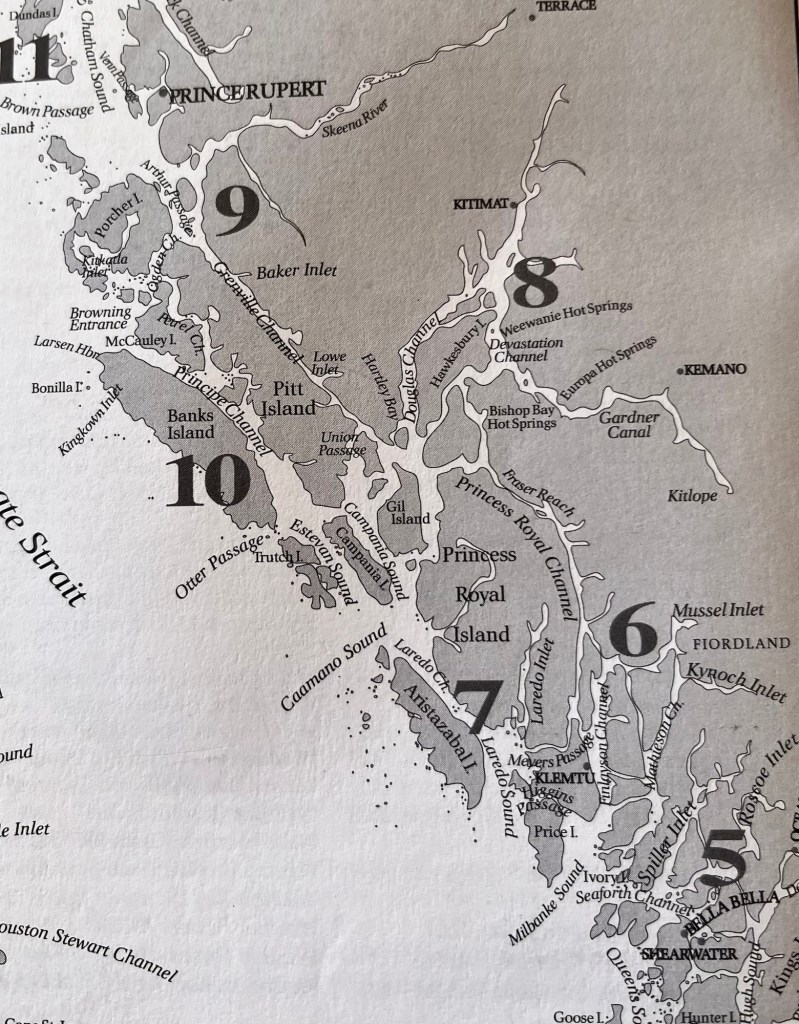
This map gives you an idea of what area of the coast we are right now. The bottom of the map is Shearwater and Roscoe Inlet ( Area 5) and the top is Prince Rupert ( Area 9). This is from the Douglass book – “Exploring The North Coast of British Columbia”
We are not going as far north as Prince Rupert.
We are going to Area 8 – The Gardner Canal – Kemano – Kitlope and around there. We are not going to Kitimat. We’ve heard stories about how windy it is at the docks there.
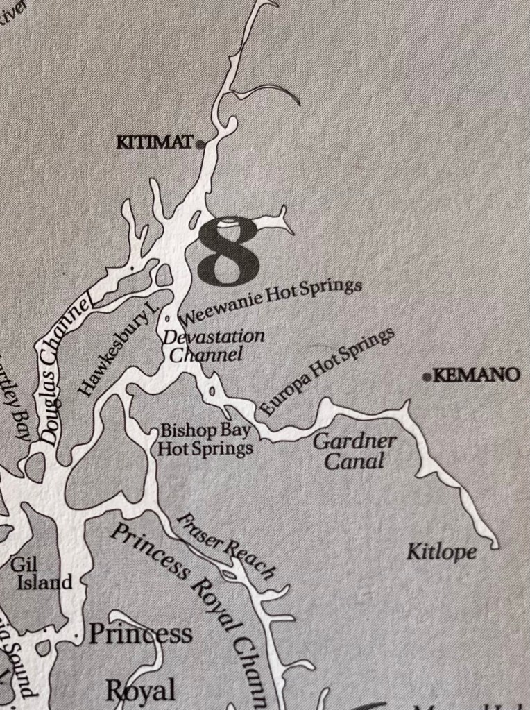
After leaving Kitsaway which is around the east side of Hawkesbury Island we motored up the start of the Gardner Canal past the Europa Hot Springs.

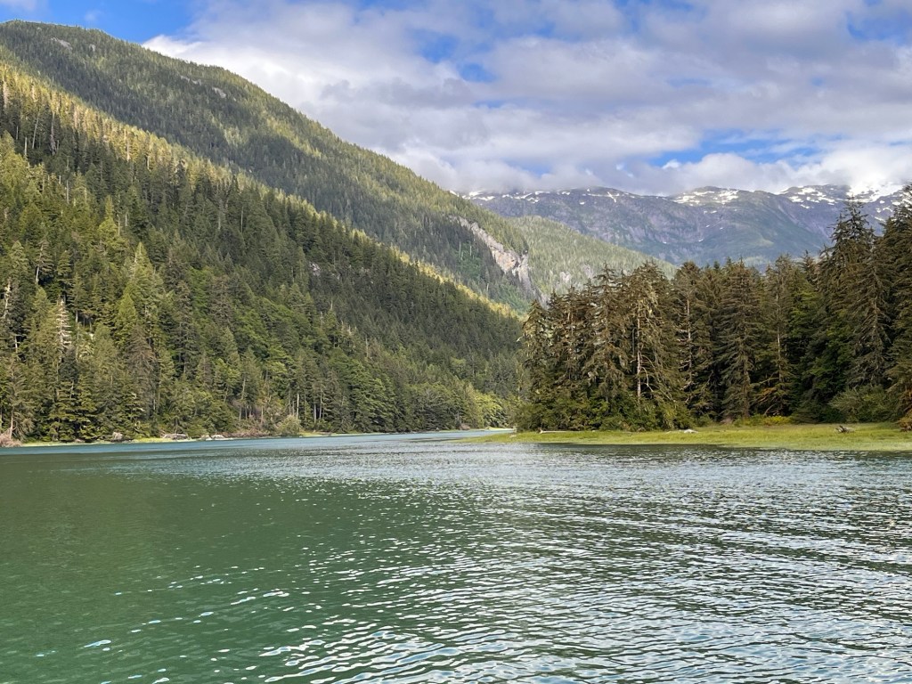
We motored in to take a closer look. There was a small boat at anchor and a few people in the hot springs.
There was one very small private mooring ball. This is a popular spot for people from Kitimat to come to when there aren’t any horseflies. We’ve been hearing stories about the horseflies !
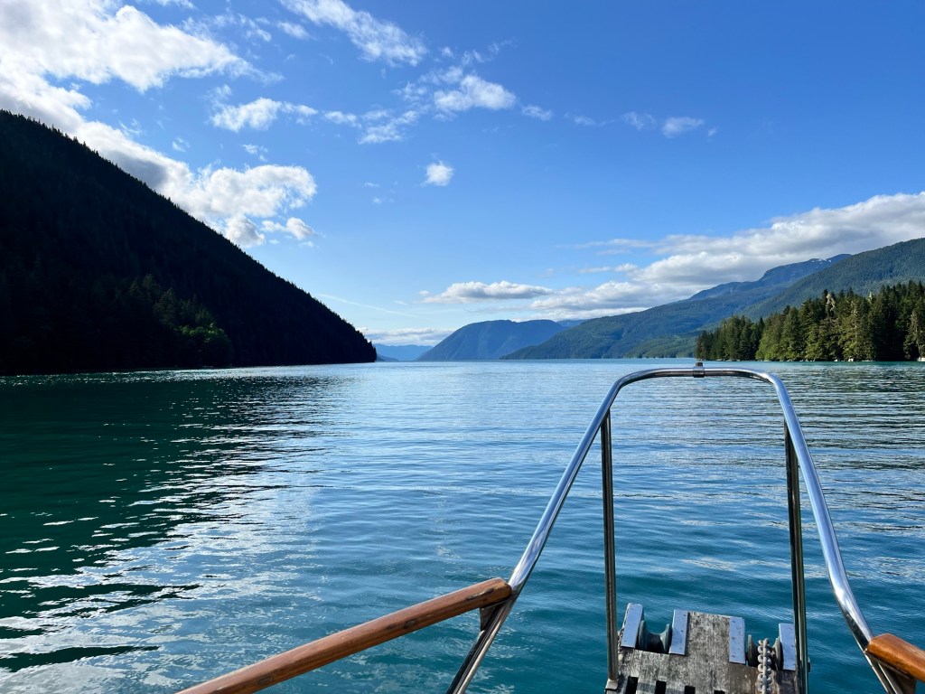
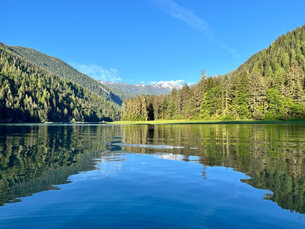
We motored up the entrance to Kiltuish Inlet to anchor for the night.
It was a little overcast when we first dropped the anchor. But the clouds were gone by early evening.

I keep being impressed at how complex the west coast is!!
>
LikeLike
And so much you can only see by boat. It is amazing how much many long inlets there are along the coast !
<
div dir=”ltr”>
<
blockquote type=”cite”>
LikeLike